
A world map can look permanent because generations have seen the same version on classroom walls. On September 4, the UN General Assembly considered the “Correct the Map” resolution by 164 votes to one, with six abstentions, encouraging wider use of equal-area projections that show continental size more accurately. India voted in favour, but with a qualification: New Delhi does not treat the resolution as approval of one specific projection or any depiction of national borders.
The debate is not simply about Africa looking larger or Greenland smaller. It is also about who draws territory, what children see in textbooks, and whether global cartography can improve without creating fresh political disputes.
- The UN resolution is non-binding and does not prohibit the Mercator projection.
- India supports equal-area cartography but has not endorsed Equal Earth as the only replacement.
- The United States voted against the resolution, while six countries abstained.
- India says Jammu and Kashmir and Ladakh must appear according to India’s official map.
- Schools, publishers and digital platforms may eventually review which world-map projections they use.
Why The UN Wants The Familiar World Map Reconsidered
The Mercator projection was created by Gerardus Mercator in 1569 for navigation. Sailors could plot constant compass bearings as straight lines, but landmasses appear progressively larger farther from the equator. Greenland can therefore look almost comparable with Africa even though Africa is about 14 times larger.
The UN vote grew from an African-led campaign arguing that this distortion goes beyond cartography. Official UN News coverage of the vote says the resolution encourages governments, schools, international organisations and technology companies to consider Equal Earth and other equal-area projections where comparing land size is important. It does not order anyone to discard Mercator.
A navigation map and a classroom political map do not have to perform the same job. The problem was allowing one specialist projection to become the default mental picture of the planet.
164 countries supported the resolution, Estonia, Georgia, Lithuania, Moldova, Serbia and Ukraine abstained, and the United States cast the only opposing vote. UN News also posted the result on X after the vote.
India’s Yes Vote Came With A Carefully Drawn Boundary
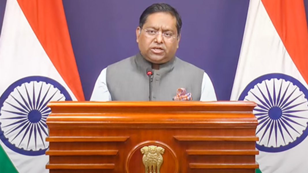
India’s official explanation of the vote was precise. Raghoo Puri, First Secretary at India’s Permanent Mission to the UN, said New Delhi welcomed more accurate cartographic practices but viewed the resolution as support for equal-area projections generally, not as endorsement of Equal Earth or another single projection.
That separates two map questions. One is geometric: how the curved Earth is flattened onto a page or screen. The other is political: where borders, disputed territories and place names are shown.
On September 6, Ministry of External Affairs spokesperson Randhir Jaiswal said India’s sovereign territory, including the Union Territories of Jammu and Kashmir and Ladakh, must be depicted according to India’s official map, and inaccurate or misleading depictions are unacceptable. The position was also reported by Akashvani News.
For Indian publishers, that is the practical issue. A new projection can alter apparent size and shape without changing a border. But when a new base map enters a textbook, app or newsroom graphic, boundary data comes with it. Projection reform and political cartography need separate checks.
Could Indian School Maps Actually Change?
Yes, but probably slowly. The UN resolution is non-binding, so there will be no overnight replacement of classroom wall maps. The more likely path is gradual: textbook boards review new editions, publishers use equal-area maps for comparative geography, and digital platforms make alternative projections more visible.
For students, that could be valuable. A child comparing continents should not have to correct a projection that exaggerates northern landmasses mentally. Equal-area maps can show Africa, South Asia and Latin America closer to their true relative scale.
The strongest educational response would not be to replace one “correct” map with another. Schools could show Mercator for navigation history, an equal-area projection for area comparison, a globe for spatial relationships and India’s official political map for national boundaries.
Students would then learn to ask what a map preserves, what it distorts and who supplied its boundary data.
This Is A Chance To Improve Map Literacy, Not Start A Map War
The UN vote should not be framed as Africa becoming larger, Europe shrinking or the world being redrawn. Nothing on Earth changed size on September 4. What changed was the willingness to question a visual convention that survived long after its original purpose.
India’s position adds a necessary guardrail. Supporting fairer area representation does not require accepting someone else’s political boundaries. The controversy also shows why map literacy belongs beside media literacy. People increasingly meet maps through phones, dashboards, news graphics and AI-generated visuals, not only atlases.
If Indian school maps eventually look different, the best outcome would be more than a new poster. It would be a generation that knows why two legitimate maps can look different, why no flat projection is perfect, and why technical choices should never be confused with political recognition.
Frequently Asked Questions
What did the UN decide about world maps?
The UN encouraged the use of equal-area projections but did not ban Mercator or require replacement.
Did India support the UN world map resolution?
Yes, India supported equal-area representation while rejecting automatic endorsement of one particular world projection system.
Why did India raise Jammu and Kashmir?
India said Jammu and Kashmir and Ladakh must be shown according to its official map.
Will Indian school maps change immediately?
No, the resolution is non-binding, so classroom changes would require separate domestic decisions before implementation.
Is Equal Earth completely distortion-free?
No flat map is distortion-free; Equal Earth preserves relative area while compromising other geographic properties.