

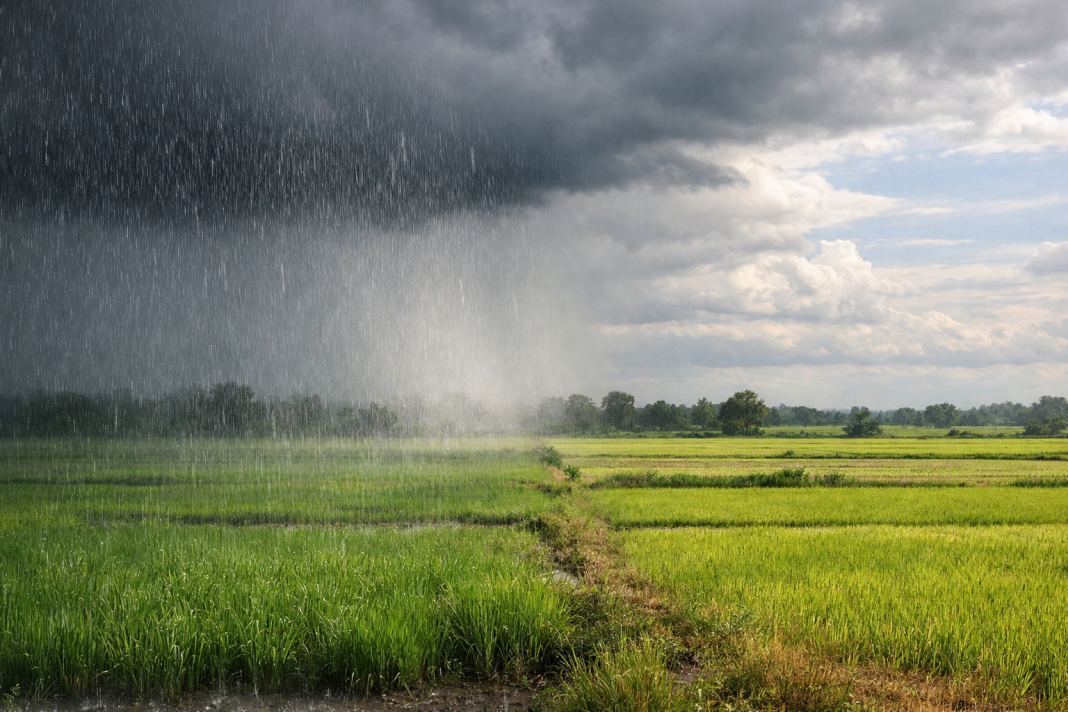

India’s southwest monsoon has technically reached the whole country, yet large stretches are still waiting for dependable rain. By July 9, 2026, the monsoon had covered India only one day behind schedule, but the national rainfall deficit remained close to 14%. The contrast is striking: East and Northeast India face heavy-rain alerts, while northwest plains, west-central states and much of the southern peninsula receive scattered showers or long dry gaps.
Meteorologists call this a monsoon “break”, when the rain-bearing trough moves towards the Himalayan foothills. A fresh Bay of Bengal system has also pulled moisture towards Odisha, West Bengal, Bihar and the Northeast, leaving other regions outside the strongest rain belt.
Why Has The Monsoon Weakened Across Much Of India?
The monsoon trough usually runs from northwest India towards the Bay of Bengal. It works as a moving corridor for moist winds, clouds and organised rain over central India. During a break phase, that corridor shifts north. Rain becomes heavier near the Himalayan foothills, eastern states and Northeast India, while central and peninsular areas turn drier.
The current break followed a difficult June. India received about 99.5 mm of rain during the month, nearly 40% below normal and reportedly the fifth-lowest June total since records began in 1901. Early July brought a depression that soaked Odisha and central India, cutting the nationwide shortage from roughly 30% to 14%. Once that system weakened, rainfall faded again.
The pattern has produced sharp reversals. Maharashtra moved from a deep June deficit to a small surplus after an intense nine-day spell, while Madhya Pradesh slipped back towards deficit as dry westerly winds returned. Eastern Uttar Pradesh has also struggled, despite heavy-rain warnings nearby.
Why Did Rain Move Towards East And Northeast India?
The immediate driver is a low-pressure area over the northwest Bay of Bengal near the Odisha-West Bengal coast. Bay systems feed humid winds inland and often pull the monsoon trough south or east. The latest system formed on July 15 and brought strengthened rain over Odisha, Gangetic West Bengal, Bihar, eastern Uttar Pradesh, and northeastern states.
The India Meteorological Department’s latest monsoon bulletin forecasts enhanced rainfall over East and Northeast India, eastern Uttar Pradesh, and the western Himalayan region for seven days. It’s official weather warning on X also flags heavy to very heavy rain over Northeast India, West Bengal, and Bihar.
Three wider climate signals are adding pressure:
- El Niño developed during June and is strengthening over the central and eastern Pacific, often weakening Indian monsoon circulation.
- The Madden-Julian Oscillation has remained in phases that suppress organised convection over the Indian region.
- The Indian Ocean Dipole is neutral, so it is not currently offsetting El Niño’s drying influence.
These signals do not stop the rain everywhere. They make rainfall more dependent on short-lived low-pressure systems. When one forms over the Bay, eastern India can receive intense downpours while western and southern regions wait.
What Does This Uneven Rain Mean For Farms And Cities?
For farmers, full monsoon coverage on a map is less important than regular rain at the field level. Long gaps can delay paddy transplantation, weaken soybean and pulse sowing, raise irrigation costs, and reduce soil moisture. A cloudburst after a dry spell can also wash away seed or damage young crops.
Cities face the opposite problem. Odisha and parts of West Bengal are under very heavy rainfall warnings, bringing risks of urban flooding, overflowing drains, and traffic disruption. In the Northeast, saturated slopes and swollen rivers can turn another intense spell into a dangerous flood or landslide event.
The split pattern may also affect reservoir inflows, hydropower generation, and food prices later in the season. India still has time to recover because July and August deliver most monsoon rain. However, recovery needs several well-spaced systems, not one extreme event. Readers can follow the IMD rainfall information dashboard for subdivision-level updates.
When Could Rain Return To The Drier Half Of India?
The Bay of Bengal low is the best near-term chance of ending the dry run. As it travels west-northwest across Odisha and adjoining regions, moisture may spread towards central India and parts of Gujarat. A favourable track could pull the monsoon trough south again and restart broader rainfall.
For now, the IMD expects subdued activity over west-central and south peninsular India for about seven days, and over northwest plains for roughly five days. A lasting revival will need more Bay systems, a better-positioned trough, and less hostile Pacific conditions. Until then, India’s 2026 monsoon will remain a patchwork of flooded districts, humid cities, and fields waiting for steady rain.
Frequently Asked Questions
Why Is Half Of India Receiving Less Monsoon Rain?
The monsoon trough shifted north, reducing organised rainfall across central, western, and southern regions temporarily.
Why Is Northeast India Getting Heavy Rain?
A Bay low-pressure system and northward trough are funnelling moisture towards eastern and northeastern states.
Is El Niño Affecting India’s 2026 Monsoon?
Yes, strengthening Pacific warming is weakening circulation and increasing the chance of longer dry breaks.
Will The National Rainfall Deficit Improve Soon?
Rainfall may improve if repeated Bay systems spread rain from eastern India into central regions.
Which Areas Face The Highest Immediate Rain Risk?
Odisha, West Bengal, Bihar and northeastern states face heavy rain, flooding and landslide risks currently.